


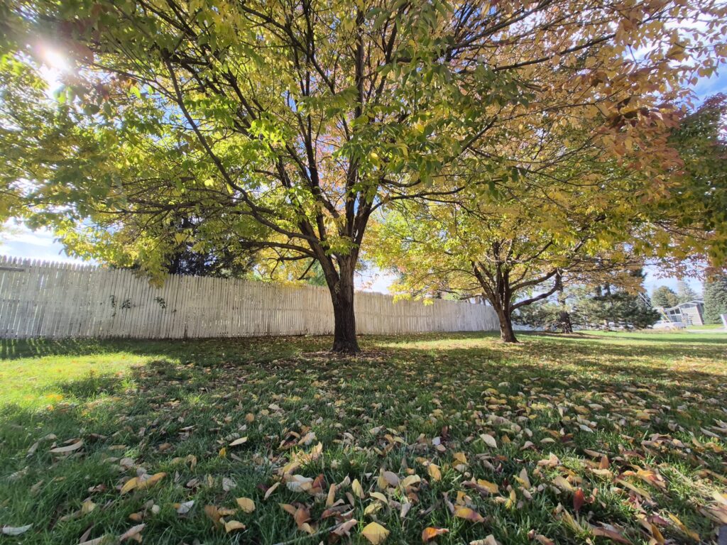
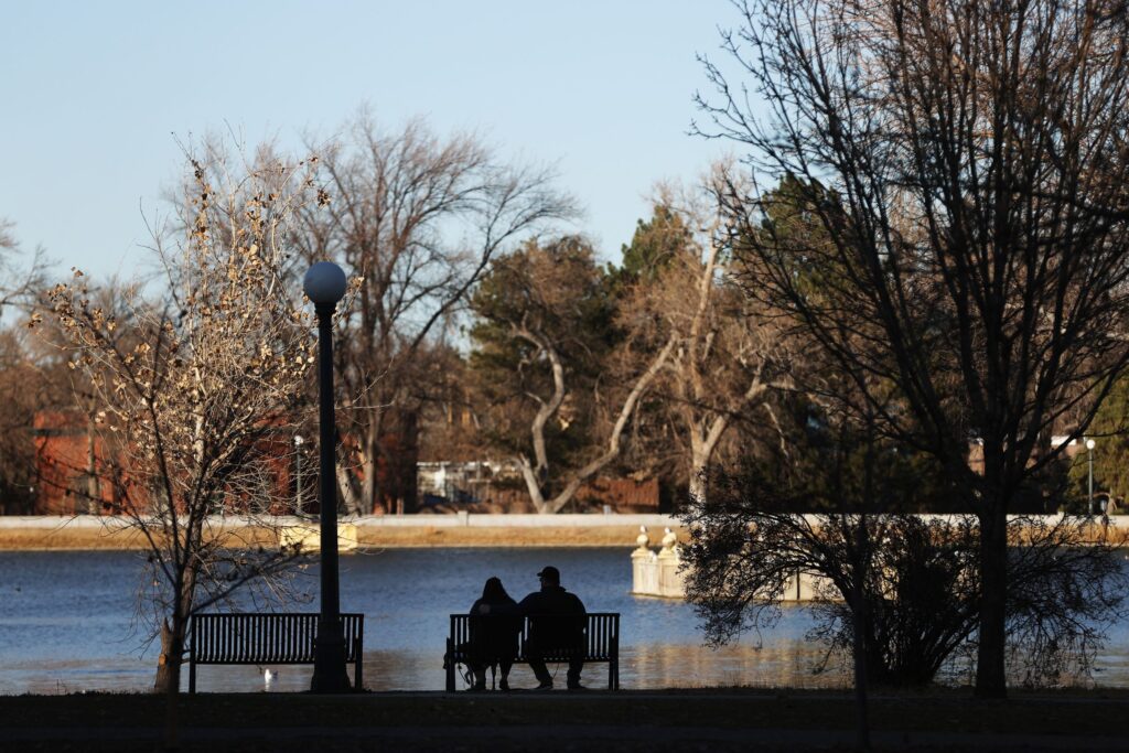
Denver weather: Smoky skies Friday and possible afternoon rain
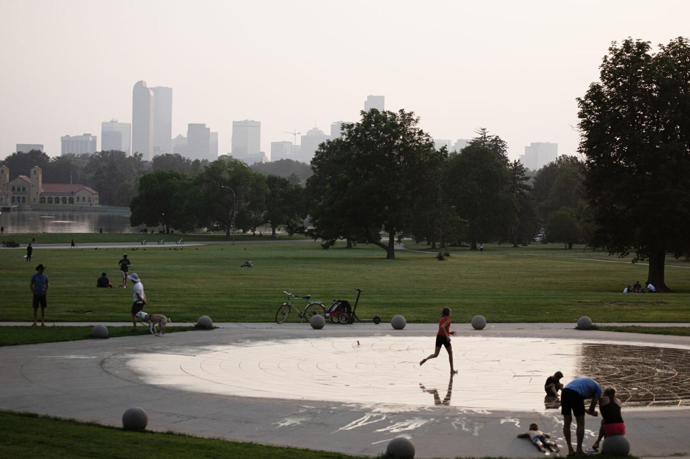
Tom Hellauer/Denver Gazette
Areas of smoke and haze across metro Denver on Friday are forecast ahead of potential rain showers and thunderstorms in the afternoon. An air quality alert is in effect until 4 p.m. for Douglas, Jefferson, Denver, western Arapahoe, western Adams, Broomfield, Boulder, Larimer, and Weld counties.
Denver residents can expect a 30% chance of showers and thunderstorms, mainly between 3 and 5 p.m., according to the National Weather Service in Boulder. It’ll be mostly sunny, with a high near 90. South winds between 6 to 10 mph become north in the morning. Winds could gust as high as 16 mph.
9News
Tonight there is a 20% chance of showers and thunderstorms before 8 p.m. Areas of smoke will linger through the night. It’ll be mostly cloudy, then gradually becoming mostly clear, with a low around 60. South southwest winds between 7 to 10 mph will blow, with gusts as high as 16 mph.
Saturday and Sunday’s weather around the city looks seasonal as high temperatures move back into the low 90s.
Next week Denver and metro area residents will be part of a new heat wave, however, as monsoonal flow is cut off. Starting Monday, highs all week will be in the middle to upper 90s with little to no chance of rain showers until Thursday.
Here’s the 4-day forecast from the National Weather Service.
Saturday: A 20 percent chance of showers and thunderstorms after 1pm. Mostly sunny, with a high near 91. South southwest wind 6 to 9 mph becoming north northeast in the afternoon. Winds could gust as high as 15 mph.
Sunday: Mostly sunny, with a high near 89. West southwest wind 7 to 11 mph becoming northeast in the afternoon. Winds could gust as high as 18 mph.
Monday: Sunny, with a high near 95.
Tuesday: Mostly sunny and hot, with a high near 97.
(Contact Denver Gazette digital producer Jonathan Ingraham at jonathan.ingraham@denvergazette.com or on X at @Skingraham and Instagram at @Skingraham311.)
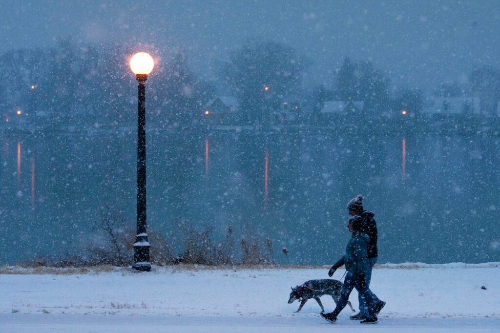
First measured snowfall will now be Denver’s second-latest or latest ever
Michael Braithwaite
michael.braithwaite@gazette.com
Updated 8 hours ago
Denver officially passed the previous second-latest date for its first measurable snowfall of the year Saturday, making this season’s first snow either the second-latest or latest on record. Nov. 21, 1934 previously marked the second-latest date on record for Denver...
Michael Braithwaite
Reporter
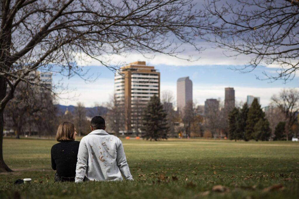
Denver weather: Snow misses Denver, return to average conditions Friday
Jonathan Ingraham
jonathan.ingraham@denvergazette.com
Updated 3 days ago
So much for Denver receiving its first snow of the season on Friday morning. And with another warmup and dry spell forecast over the next few days, it could be another week before the season’s first flakes fly. Denver residents...
Jonathan Ingraham
Reporter
Additional 6-10″ of snow for Colorado as ‘risk of heavy snow’ forecast for week’s end
Jonathan Ingraham
jonathan.ingraham@denvergazette.com
Updated 4 days ago
Winter conditions and the risk of heavy snow return to Colorado’s high country late week, with the southern mountains benefiting the most from the incoming storm. A round of snow from Wednesday to Friday night should fill in more gaps...
Jonathan Ingraham
Reporter
Denver weather: After warm Wednesday rain forecast to close out week, snow doubtful
Jonathan Ingraham
jonathan.ingraham@denvergazette.com
Updated 5 days ago
The ever evolving weather forecast for Denver has changed again, and although Wednesday will be sunny and pleasant with a high in the mid 60s, the city receiving snow by week’s end is even more doubtful now. Denver residents can...
Jonathan Ingraham
Reporter
Is the latest first snow record for Denver in jeopardy?
Jonathan Ingraham
jonathan.ingraham@denvergazette.com
Updated 4 days ago
Denverites haven’t experienced snowfall in the Mile High City for over 200 days currently and with each passing day a new record for latest first snow keeps falling. Denver International Airport has not recorded any measurable snow since April 18,...
Jonathan Ingraham
Reporter
Denver weather: Slight warm up Tuesday but snow chances late week dwindle
Jonathan Ingraham
jonathan.ingraham@denvergazette.com
Updated 5 days ago
The forecast calls for conditions to be slightly warmer on Tuesday around Denver and the urban corridor ahead of a cool down Thursday and Friday; potentially the season’s first snow too. Denverites can expect mostly sunny skies today, with a...
Jonathan Ingraham
Reporter
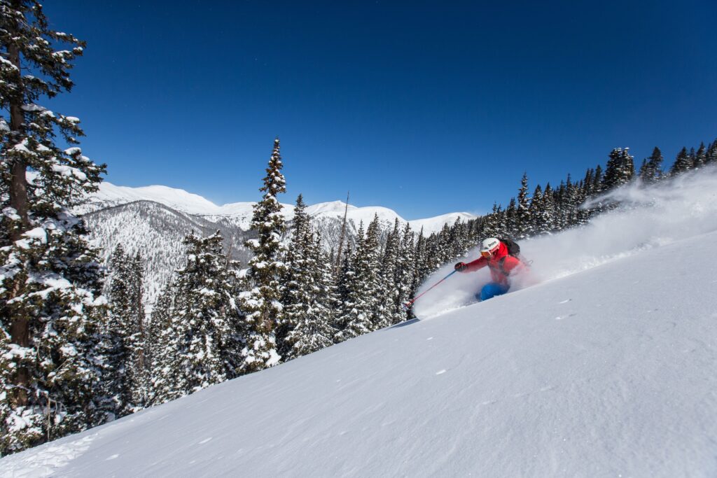
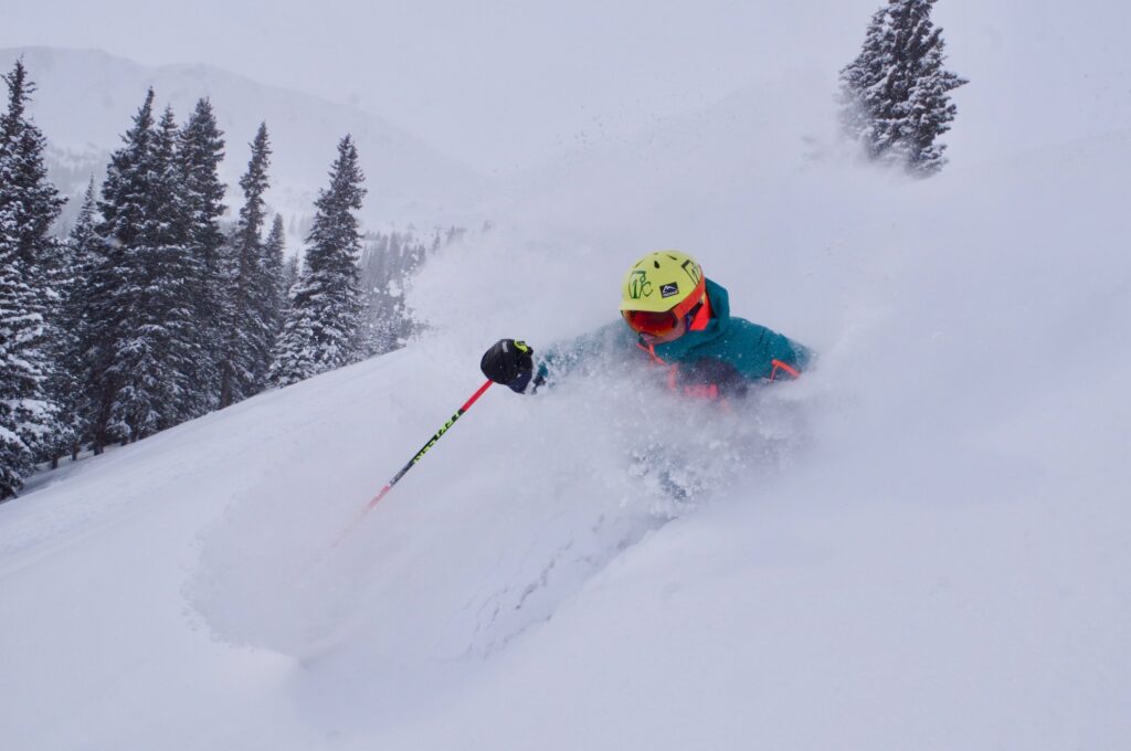
11-18″ of snow for Colorado by week’s end as winter returns in a big way
Jonathan Ingraham
jonathan.ingraham@denvergazette.com
Updated 5 days ago
Winter has returned to Colorado’s high country and a good amount of snow is coming with it; upwards of 18 inches by week’s end. The November drought is over after 15 days of little to no snow, plus recharging the...
Jonathan Ingraham
Reporter

Denver weather: Breezy on Monday as potential first snow forecast for Friday
Jonathan Ingraham
jonathan.ingraham@denvergazette.com
Updated 7 days ago
After 16 days of no snow in Denver or the metro area, Mile High City folks will still have to wait a few more days for the first snow of the season, but the forecast is promising. Denver residents can...
Jonathan Ingraham
Reporter
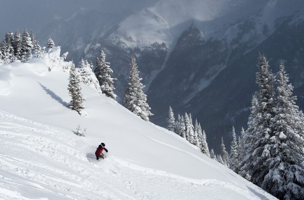
Winter returns snow to Colorado within next 3 days for first possible powder skiing day Monday
Jonathan Ingraham
jonathan.ingraham@denvergazette.com
Updated 6 days ago
Snow finally returns to Colorado’s high country within the next three days, then into next week as a series of storm systems empty their fluffy flakes from Steamboat to Silverton. Vail and Eldora both open Friday bringing the total operating...
Jonathan Ingraham
Reporter
Denver weather: Warm stretch continues Friday with potential snow middle next week
Jonathan Ingraham
jonathan.ingraham@denvergazette.com
Updated 1 week ago
Three occurrences of Denver’s latest first snow on Nov. 14 (1944, 1964, 2008) have occurred in the city’s history, and today’s date joins those ranks as the fourth member, tied in tenth place, for latest first snow on record. Saturday’s...
Jonathan Ingraham
Reporter
PREV
PREVIOUS

Denver weather: Third time's the charm Thursday for rain across the metro area?
Facebook Twitter WhatsApp SMS Email Print Copy article link Save Facebook Twitter WhatsApp SMS Email Print Copy article link Save Thursday’s forecast has rain in it, but most of metro Denver has been skunked over the last two days, with only one notable measurement recorded of 0.16 inches of rain at a remote weather station […]

Denver weather: First of several hot days starts Monday around the metro area
Facebook Twitter WhatsApp SMS Email Print Copy article link Save Facebook Twitter WhatsApp SMS Email Print Copy article link Save More heat and more sunshine fill the skies around metro Denver on Monday as the first day of several 90-plus degree days start the first full week of August. Denver residents can expect sunny skies, […]