How Denver’s aerospace companies are using AI
Voyager and Maxar are but two taking advantage of the new technology
Artificial intelligence, where computers can generate realistic imagery or calculate decisions typically made by humans, is a growing segment for the technology industry.
And in space, too.
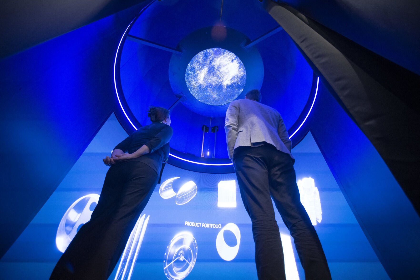
Several aerospace companies with a presence in the metro Denver region talked about the different applications and risks of using A.I. at the 40th annual Space Symposium at The Broadmoor in Colorado Springs last week. The event attracted about 10,000 attendees – from military leaders to aerospace professionals — for one of the largest trade shows in the space and defense industry.
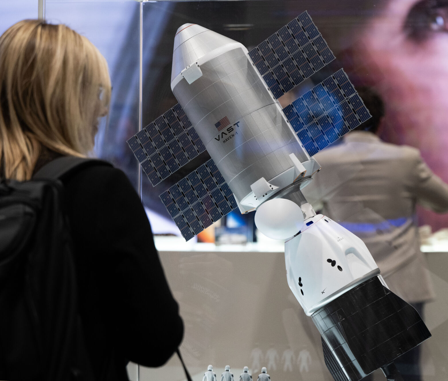
At Voyager Technologies, the Denver-based aerospace company working on the Starlab space station, is leveraging A.I. to save workers’ time to manage payloads and analyze mission data.
“We can lower the total number of controllers who are on console than any one point, because the A.I. is already out there monitoring, warning, predicting what may happen so we can we can do quite a bit more with less people,” said Neeraj Gupta, chief innovation officer at Voyager Technologies, during a panel on Wednesday.
One of the largest barriers in adopting A.I. for space missions is how there isn’t enough data of error to inform the computers, Gupta said, as machines learn just as much from mistakes as people do.
“You take away from failures and I think the same applies here,” Gupta said.
One of the best uses for A.I. is letting it accelerate research and development conducted on space stations and make end products faster, he said.
“We all know one of the biggest barriers of doing anything in space is the cost associated with doing it,” he said. “You can’t do thousands and thousands of samples in space because you don’t have the time.”
Grant Anderson, the CEO of Paragon Space Development Corp., an aerospace company based in Arizona with a corporate office in Lakewood, said they’re using A.I. to use the company’s 32 years of history to train new employees on licensing and other complex matters. But most of all, their A.I. is trained on what the company has mostly written such as peer-reviewed papers and private data.
“I don’t want to at least open our A.I. to the real world because it picks up too much stuff,” Anderson said. “Garbage in and garbage out.”
But when it comes to having A.I. lead exploration expeditions, Anderson said it takes away from the human fascination with walking on the moon or Mars.
“Humans love to watch other humans achieve things. It’s why we watch sports and everything else,” he said. “They don’t really love to watch a robot do anything.”
For use on Earth, Maxar Technologies, a geospatial company based in Westminster, is using A.I. to create a “digital twin” of Earth’s surface to use for augmented or virtual reality systems based on its satellite imagery.
Using high resolution satellite images and A.I., the company is creating a photorealistic simulation of Earth.
“When I look back at 20 years over the history of commercial satellite imaging, we were very focused in the first decade and a half just mapping the world,” said Peter Wilczynski, Maxar’s chief product officer.
“At this point, I think we’re really at the level of having enough capacity on orbit where we can start moving from mapmaking to really monitoring and measuring,” he added.
Most of the Earth has been photographed already, so still images of areas that haven’t changed don’t hold as much value anymore, Wilczynski said at Space Symposium on Wednesday during a fireside chat on A.I. and space.
But in areas that are more dynamic, like cities or warzones, a digital model could have applications spanning from urban planning, warfighting, disaster relief or tracking ships in the ocean.
“We really do believe that everything is going to be moving to 3D in the next few years, that 3D is really gonna be the core base map foundation mapping, especially for change,” Wilczynski said.
He cited how Apple and Google Maps are mostly accurate representations of the world, but there can be a lag when there’s new construction on a block or a ship moved from a port.
Speaking of Google, he said he’s excited about the search engine company recent announcement this week that Maxar will be one of the first testers of its Geospatial Reasoning language model, which is where the company piloted its A.I. program Gemini into Google Maps.
The generative A.I. software has the ability to use machine learning for flood forecasting, providing wildfire updates and analyzing population dynamics and how humans travel around the world.
“The future for a lot of remote sensing is going to be producing insert vector maps on the fly,” Wilczynski said.