


48-plus inches of snow could still fall on some Colorado peaks on Thursday
A ridiculous amount of snow has already fallen in Colorado’s Central Mountain and Front Range regions, with more than 30 inches of snow reported in populated areas. And keep in mind – some of the heaviest snowfall totals are still expected throughout the day on Thursday.
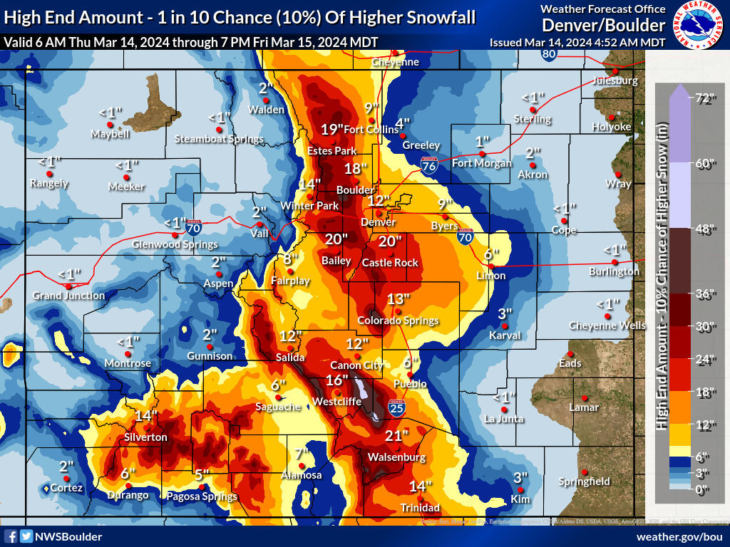
Mapping released on Thursday morning by the National Weather Service shows that big snow throughout the day is still expected, with snow in the 36 to 48-inch range possible in the ‘most likely’ scenario (specifically on some mountains south of Cañon City).
While heavily-populated Front Range cities probably won’t get three feet of additional snow throughout the day, Denver is expected to get eight to 12 more inches, Castle Rock is expected to get 12 to 18 more inches, and Colorado Springs is expected to get eight to 12 more inches – and that’s in the ‘most likely’ scenario. Much of the I-25 corridor from Colorado’s southern border to its northern one could get more than a foot of snow stacking on top of what’s already fallen, along with the southwest.
The high-end forecast is where things get really wild. In this 10-percent-chance scenario, mountains south of Cañon City get snow in the range of 48 to 60 inches, with 19 more inches in Estes Park, 18 more inches in Boulder, 12 more in Denver, 20 more in Castle Rock, 14 more in Silverton, 12 in Salida, 21 in Walsenburg, 14 in Trinidad, and 13 more in Colorado Springs.
In other words, the snow Colorado has already gotten is notable in itself, but a lot more is probably on the way.
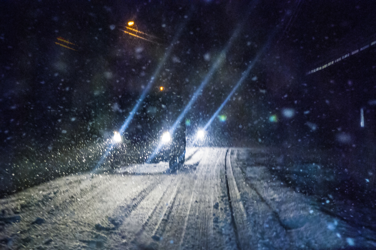
Travel on Thursday is not recommended. The storm should let up by Friday, with road conditions improving after that.
Find additional information on the National Weather Service website.

Get OutThere
Signup today for free and be the first to get notified on new updates.
PREV
PREVIOUS

Cancellations at Denver International Airport pick up as snowstorm buries Colorado's Front Range
Flight delays and cancellations have picked up significantly at Denver International Airport, even as another foot of snow is expected to blanket the metropolis this afternoon. As of 9 a.m., 806 incoming and outgoing flights have been cancelled at the airport, though only 61 flights have been delayed, according to flight tracking website, Flightaware.com. TSA […]
VIDEO: Man says he's been stuck on I-70 for 11 hours while playing ukulele to lift mood
Travel conditions are extremely dangerous in the most populated part of Colorado to start the day on Thursday, with up to 38.5 inches and counting (Thursday forecast here) falling on parts of the Central Mountain and Front Range regions. It’s already been enough snow to close ski resorts and result in a massive power outage in […]