







Denver weather: Haze, smoke accompany highs pushing 80 on Monday
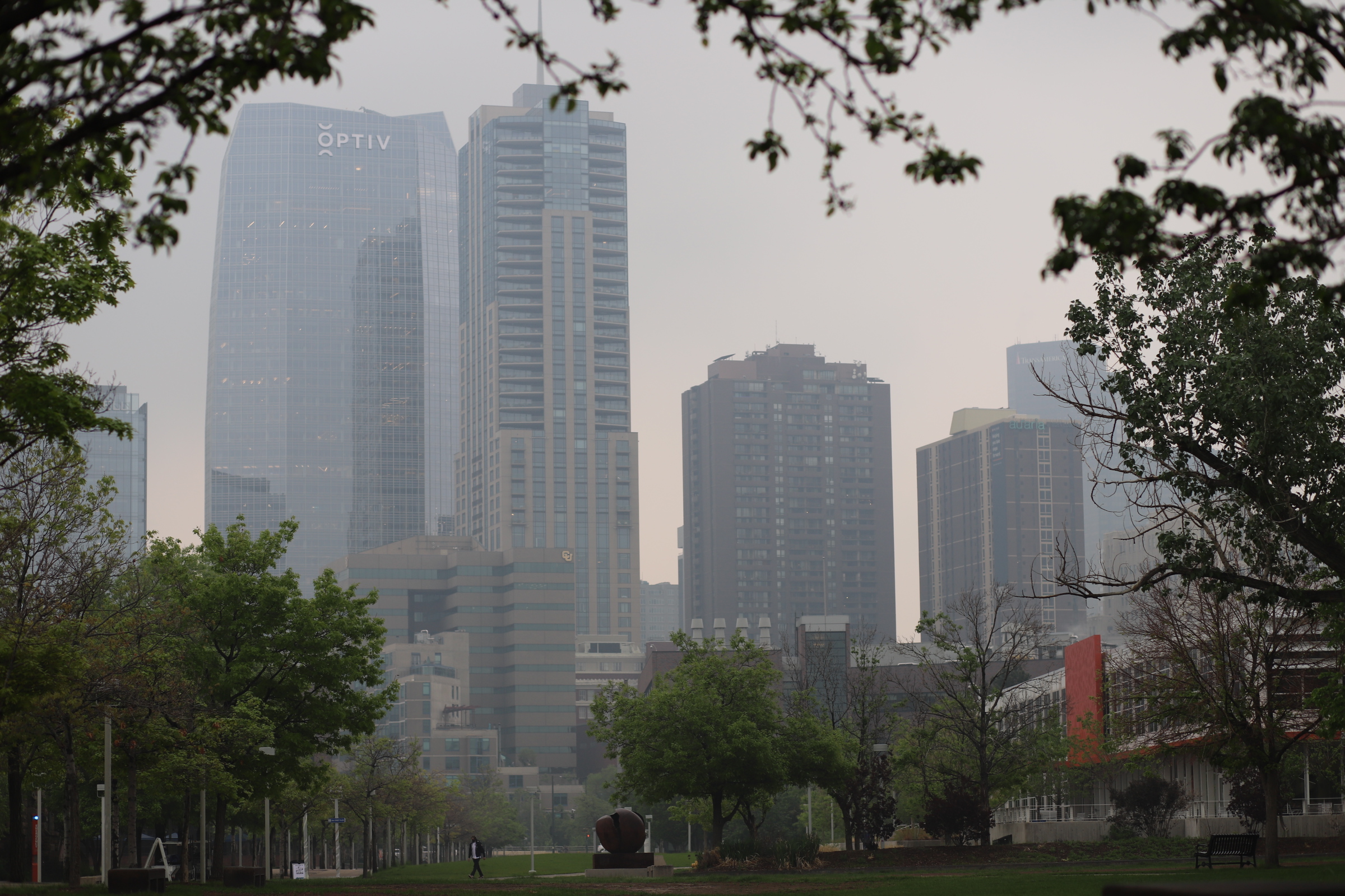
Above-average temperatures remain the focal point of weather around Denver on Monday. A high pressure ridge over the Four Corners states is pushing wildfire smoke in from Wyoming and Idaho, including up and down the I-25 corridor.
Denver residents can expect patchy smoke, with sunny skies and a high near 80, according to the National Weather Service in Boulder. West winds will blow between 5 to 8 mph, becoming north northeast in the afternoon.
“There will (also) be elevated fire weather conditions over the eastern half of the plains this afternoon for a few hours with low humidity levels and some gusty winds up to 20-25 mph,” the NWS said.
Tonight we’ll expect patchy smoke, but it’ll clear out overnight, with a low around 49. North winds around 6 mph will become light and variable.
Much of the same heading into Tuesday as temperatures remain above average for most of the week.
Here is the 4-day forecast from the National Weather Service:
Tuesday: Areas of smoke before noon. Increasing clouds, with a high near 80. West southwest wind around 5 mph becoming light and variable.
Wednesday: Sunny, with a high near 80. West southwest wind around 6 mph becoming light and variable in the afternoon.
Thursday: Sunny, with a high near 83.
Friday: Mostly sunny, with a high near 81.